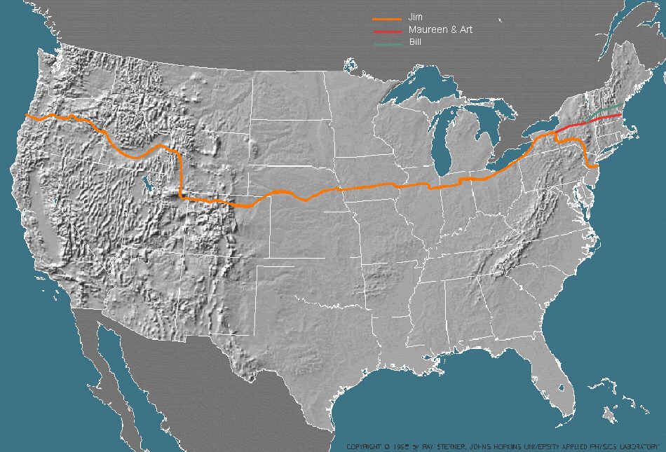
The route that we followed is shown on the map below. I took over 700 photos during the 68 day trip. From these I created an hour long slide presentation which shows our journey across the country and also tries to capture what a day in the life of a bicycle tourist is like. Some of those photos have been digitized and are linked to the route map. Just click on a section of the route to see pictures from that area of the country. The sections are divided roughly by state west of the Mississippi. East of the Mississippi there are two sections. Click anywhere else on the map to read about us. Or you can just page through the photo album starting with information about the four bicycle tourists.
(Permission to use this map was kindly given by Ray Sterner from The Johns Hopkins University Applied Physics Lab. Ray maintains a web page that is a great resource for maps of the US.)
| My home page |